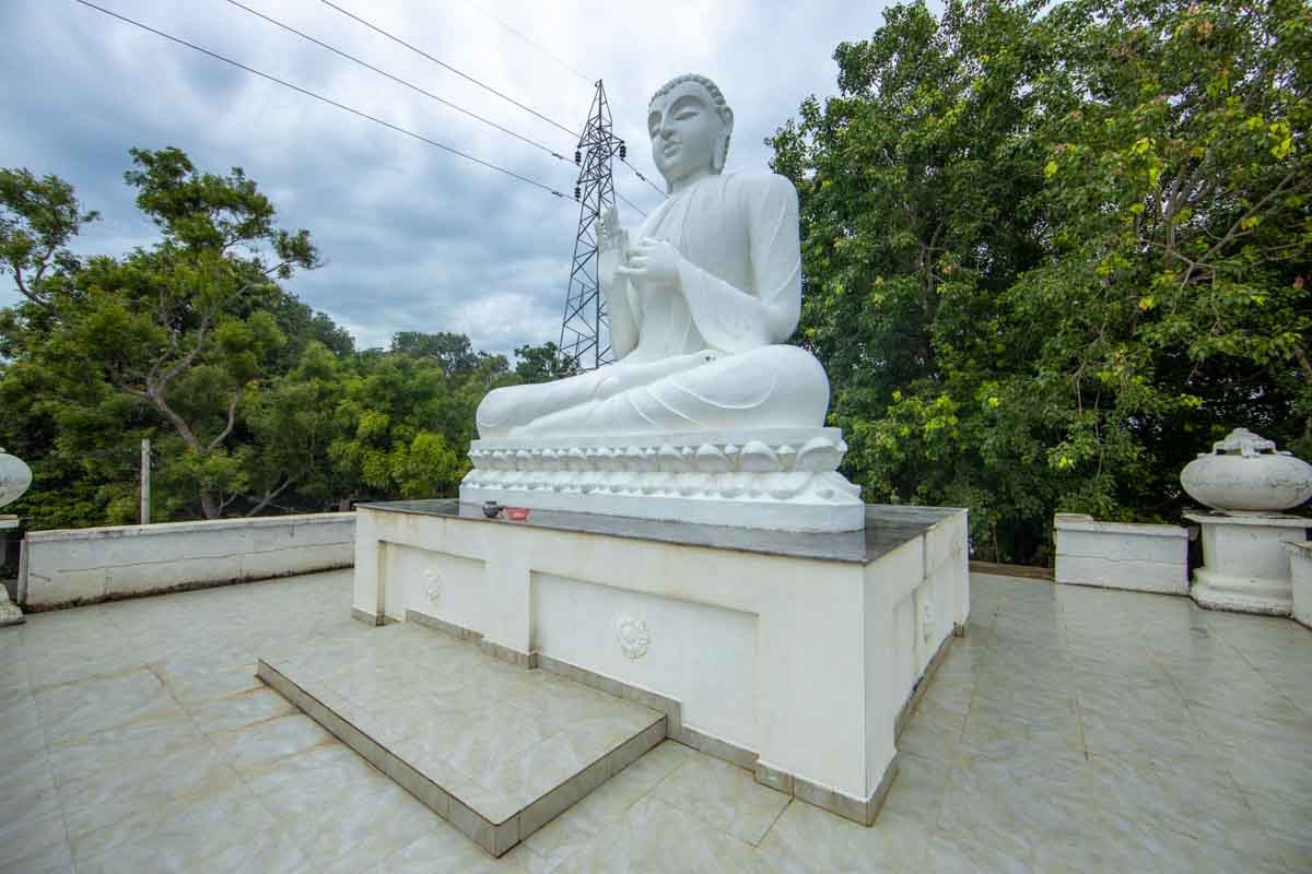
Text Text Text Text Text Text Text Text Text Text Text Text Text Text Text Text Text Text Text Text Text Text Text Text Text Text Text Text Text Text Text Text Text Text Text Text Text Text Text Text Text Text Text Text Text Text Text Text Text Text Text Text Text Text Text Text Text Text Text Text Text Text Text Text Text Text Text Text Text Text Text Text Text Text Text Text Text Text Text Text Text Text Text Text Text Text Text Text Text Text Text Text Text Text Text Text Text Text Text Text Text Text Text Text Text Text Text Text Text Text Text Text Text Text Text Text Text Text Text Text Text Text Text Text Text Text Text Text Text Text Text Text Text Text Text Text Text Text Text Text Text Text Text Text Text Text Text Text Text Text Text Text Text Text Text Text Text Text Text Text Text Text Text Text Text Text Text Text Text Text
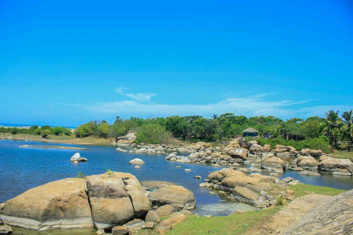
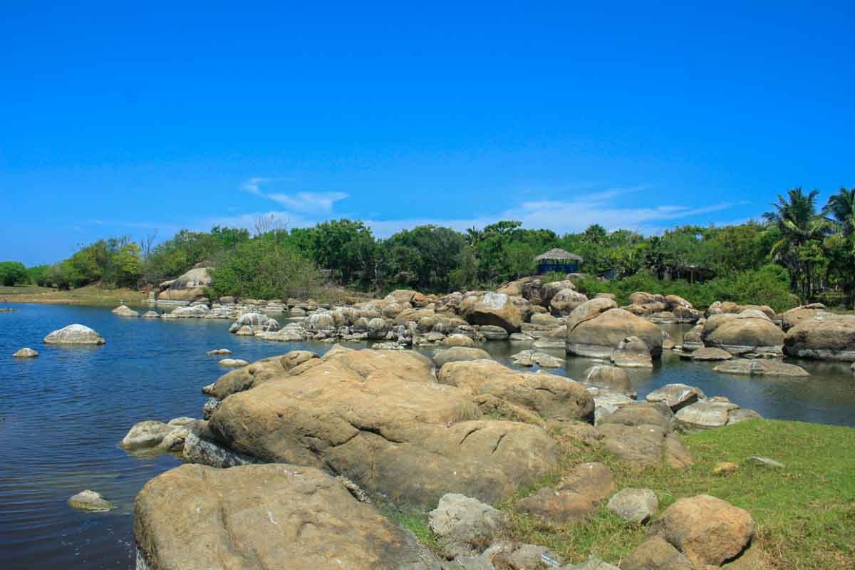
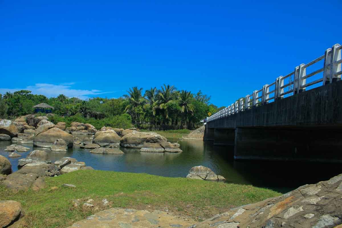
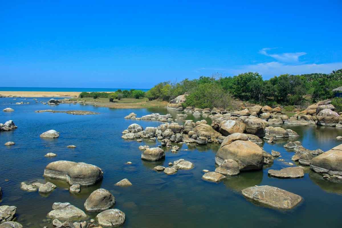
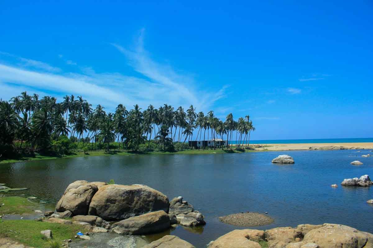
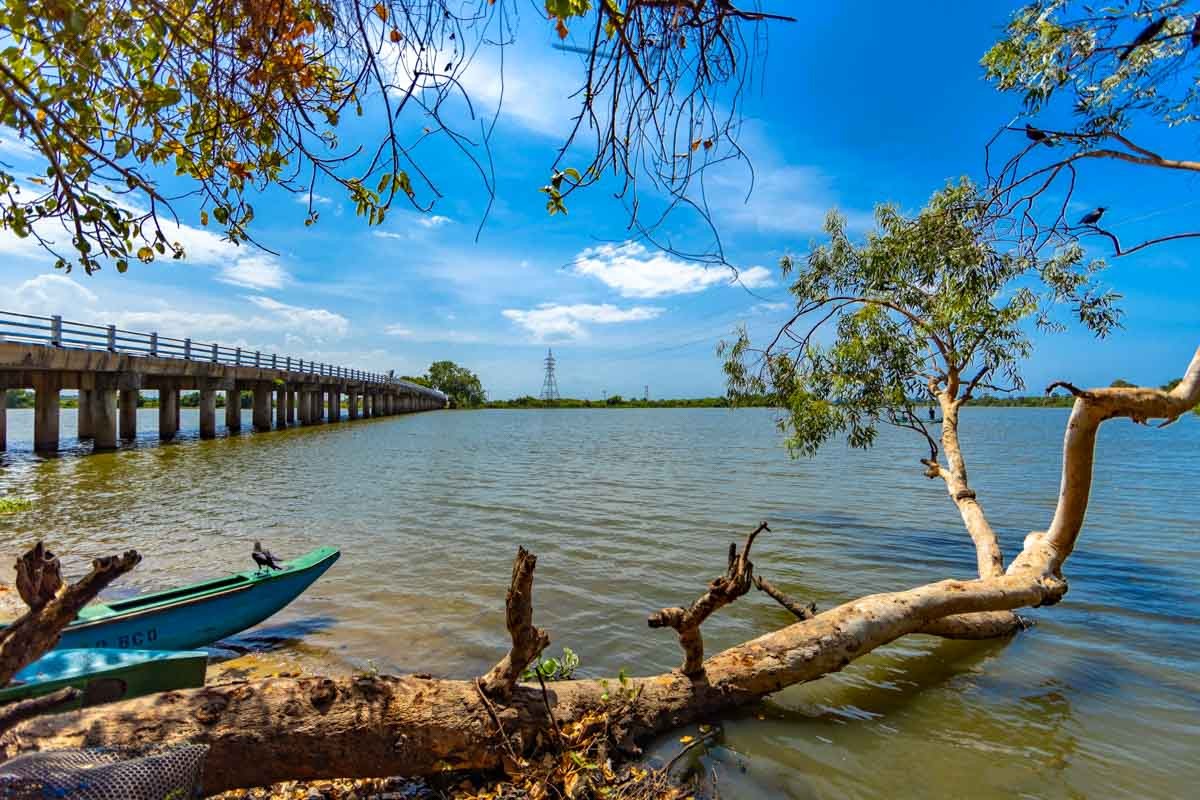
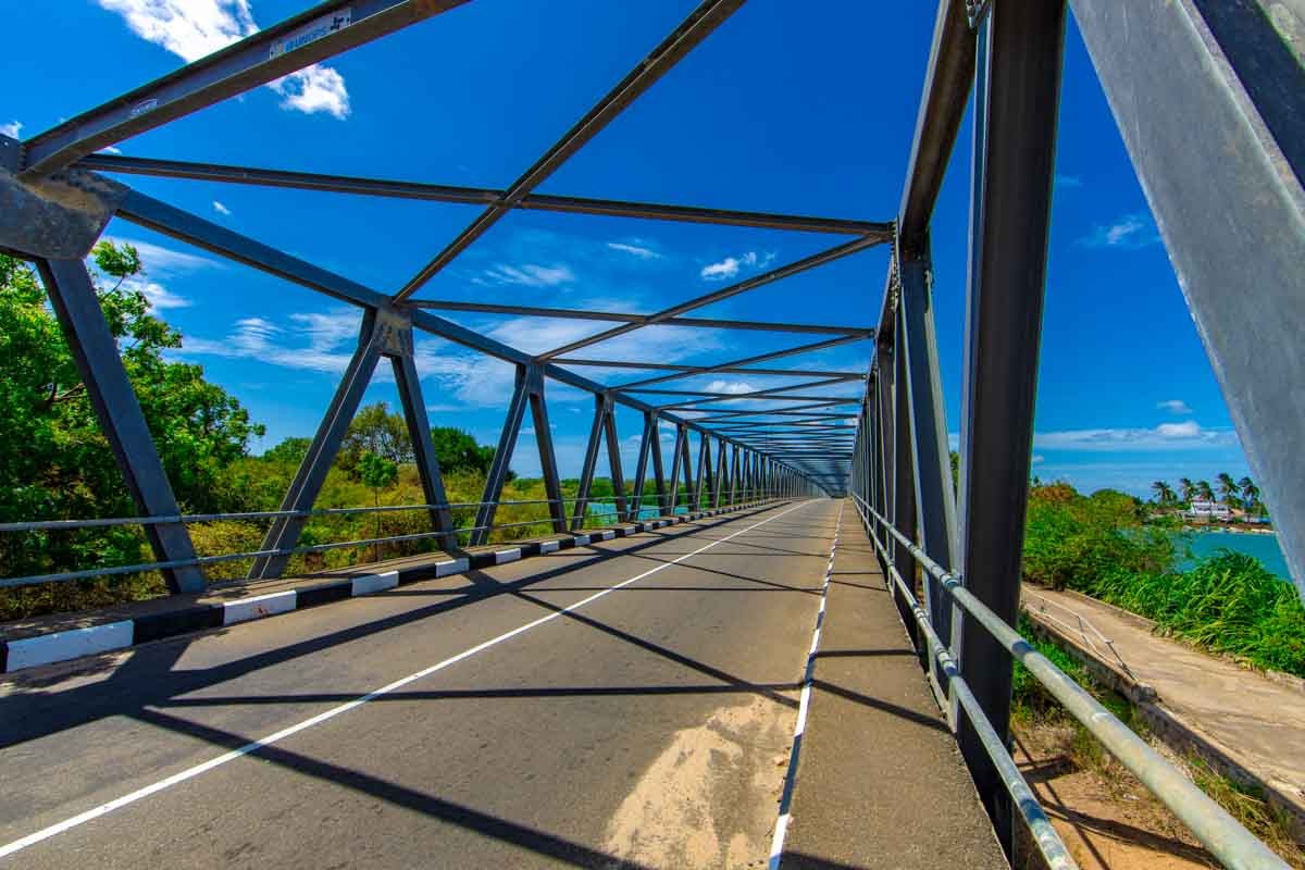
Komari Bridge
The name ‘komari” is said to have been bestowed upon this place after a strange incident when the king of Ruhunu kavantissa who was searching for his princess asking everyone. “Ko Kumari” or “where is my princess” leading to itself how this name came about.
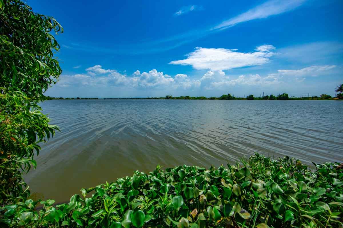
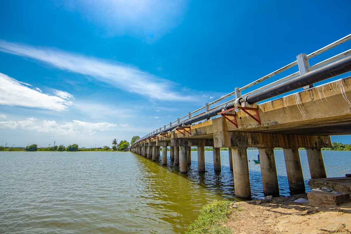
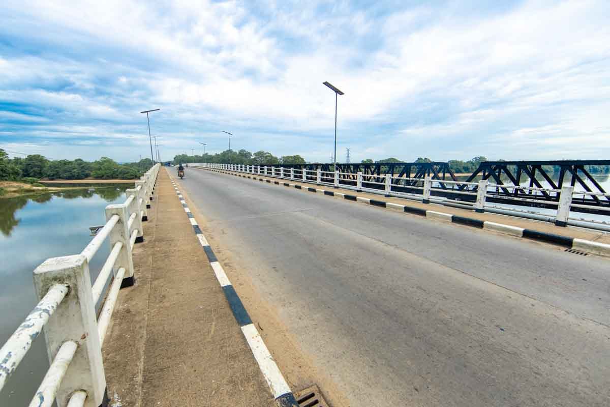
Komari is a village town located in Pothuvil area in Ampara district. Its 4Km away from North side of famous surfing place” Arugambay”. This place has river, shore and ponds. The main livelihood of the people is agriculture and dairy products. Boats and small vessels were used to cross over the komari River in earlier days. In 1994 small scale bridge was constructed for public transportation and the bridge was destroyed by the 2004 Tsunami tidal waves. Then a temporary bridge was constructed but still the people of the area had gone through a hard time when travelling. Finally in a new bridge was completed in 2013.
Komari was part of Batticaloa District before Ampara got separated in 1958.Tourism industry was enhanced after the construction of the Komari Bridge. The livelihood of the people had changed drastically.
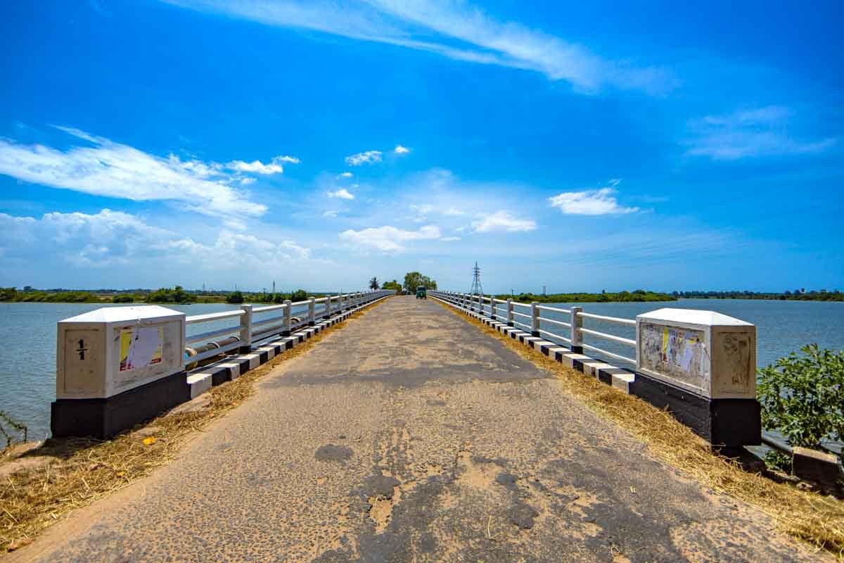
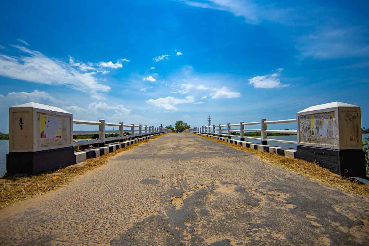
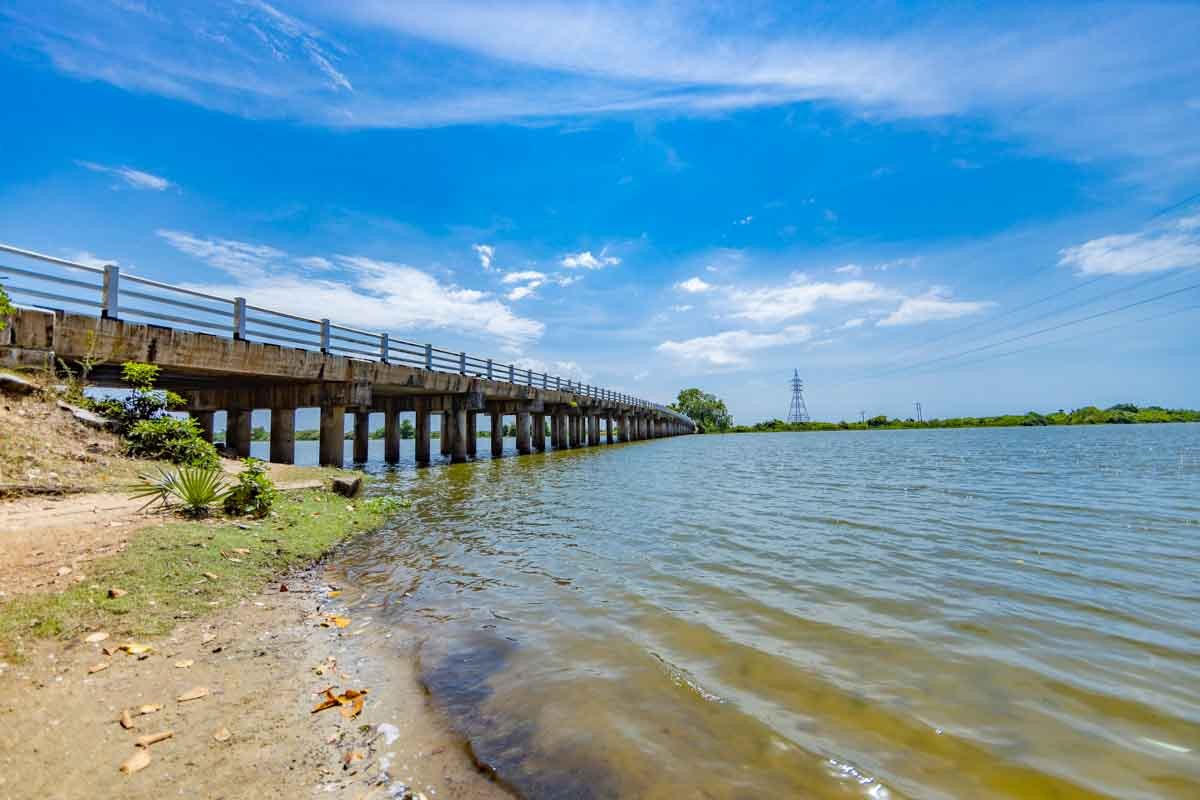
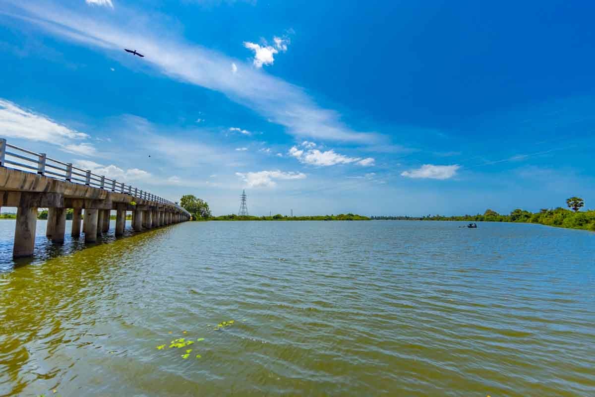
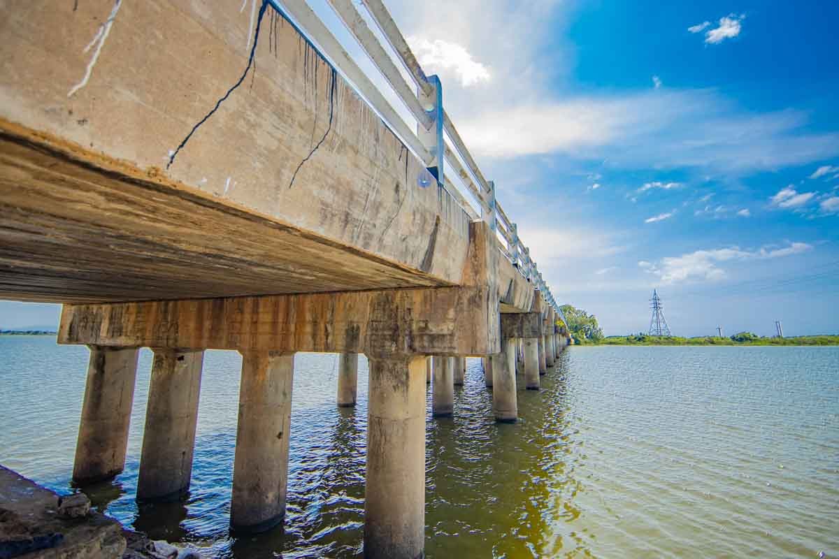
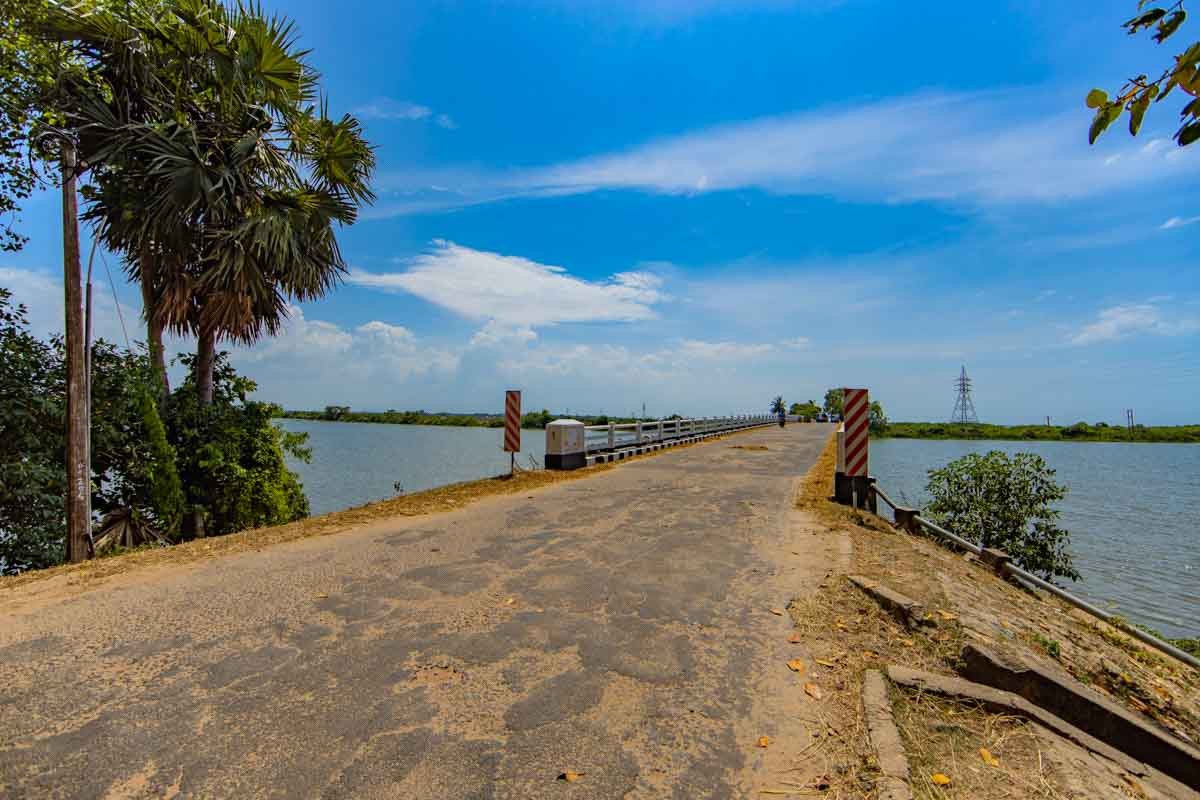
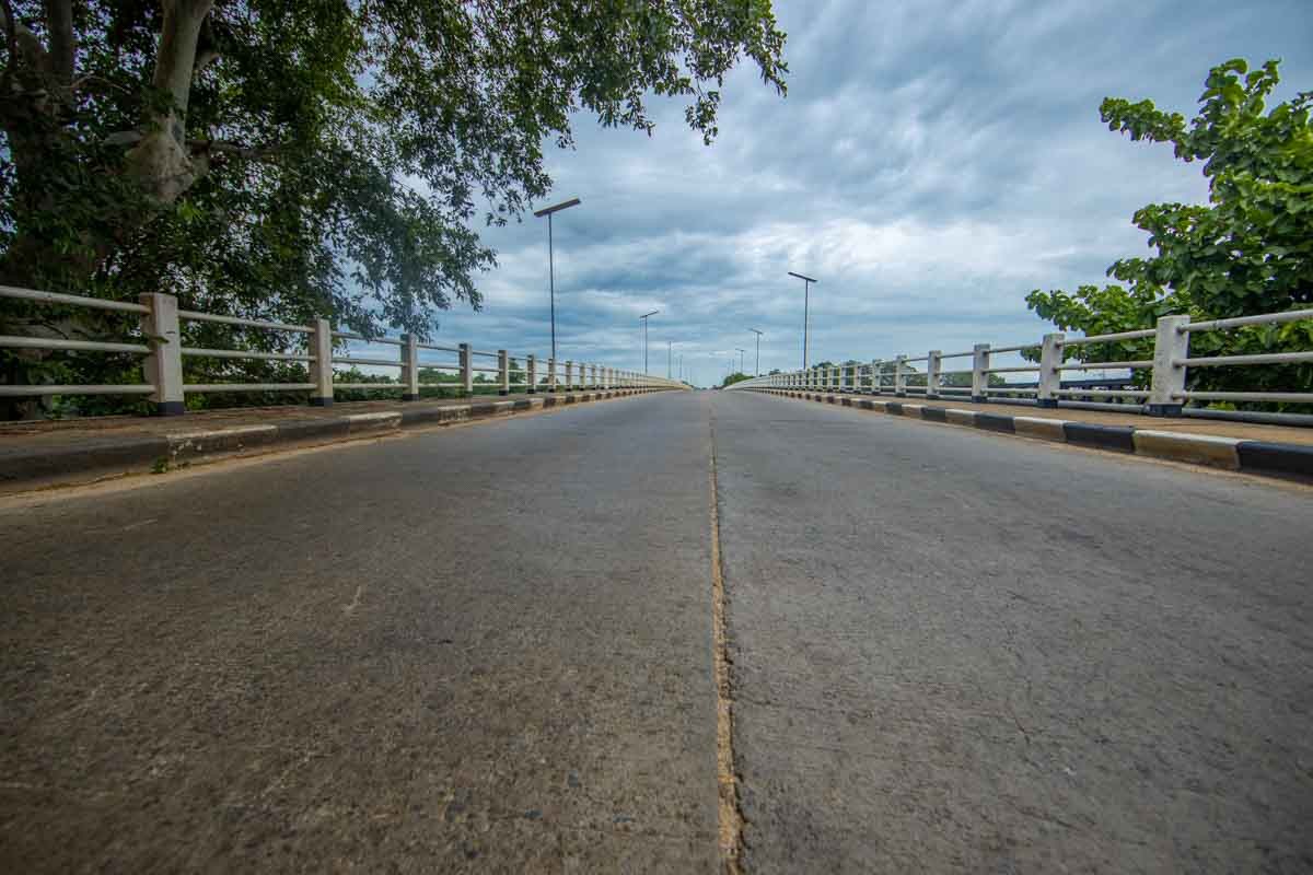
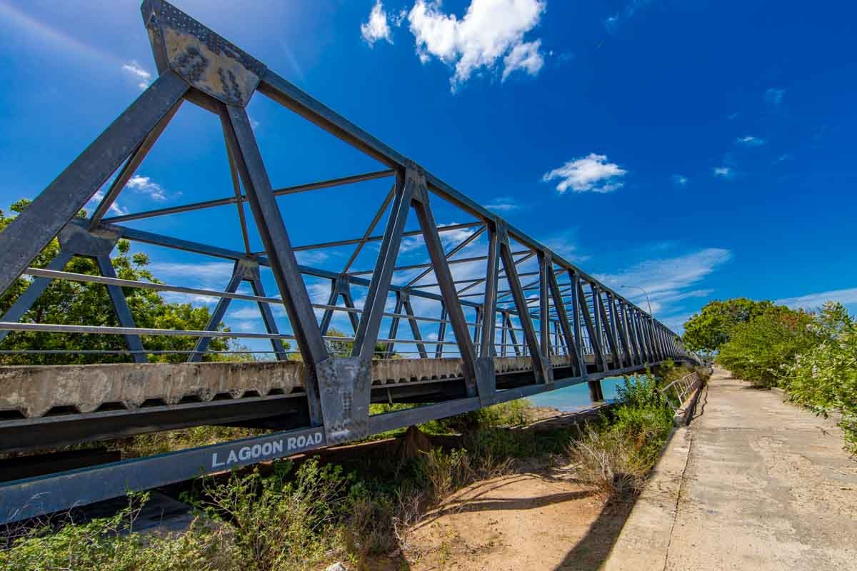
Paddiruppu Bridge
Quite an old bridge that is used more by farmers to transport their local productions to the urban markets of Batticaloa. Various traditional fishing methods can be sited along the water stream below this bridge.
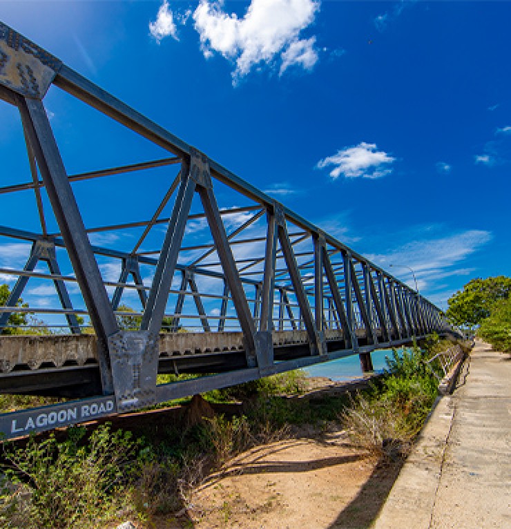
Kallady Bridge
The Batticaloa lagoon was obstructive to the traveling towards the southern part of Batticaloa in the ancient Batticaloa. People used small boats to cross over the lagoon to travel the south part of Batticaloa by paying one cent for boat fare during the early days. Later, one Mr.Maniyathar, the boat owner, used an engine boat to transport people and other commodities. In 1924 the construction work was started for a bridge, and it was completed in 1928. It was ceremonially inaugurated by the then governor of Sri Lanka Hon. Sir Manning and his wife Lady Manning. The bridge's lifetime was 1928-1985 as anticipated by the construction engineers, but the bridge was in use up to 2013. A new bridge along the old one was built by the government of Sri Lanka and was ceremonially opened by the then president Hon. Mahinda Rajapaksha on 13th March 2013.
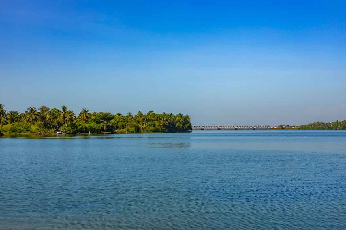
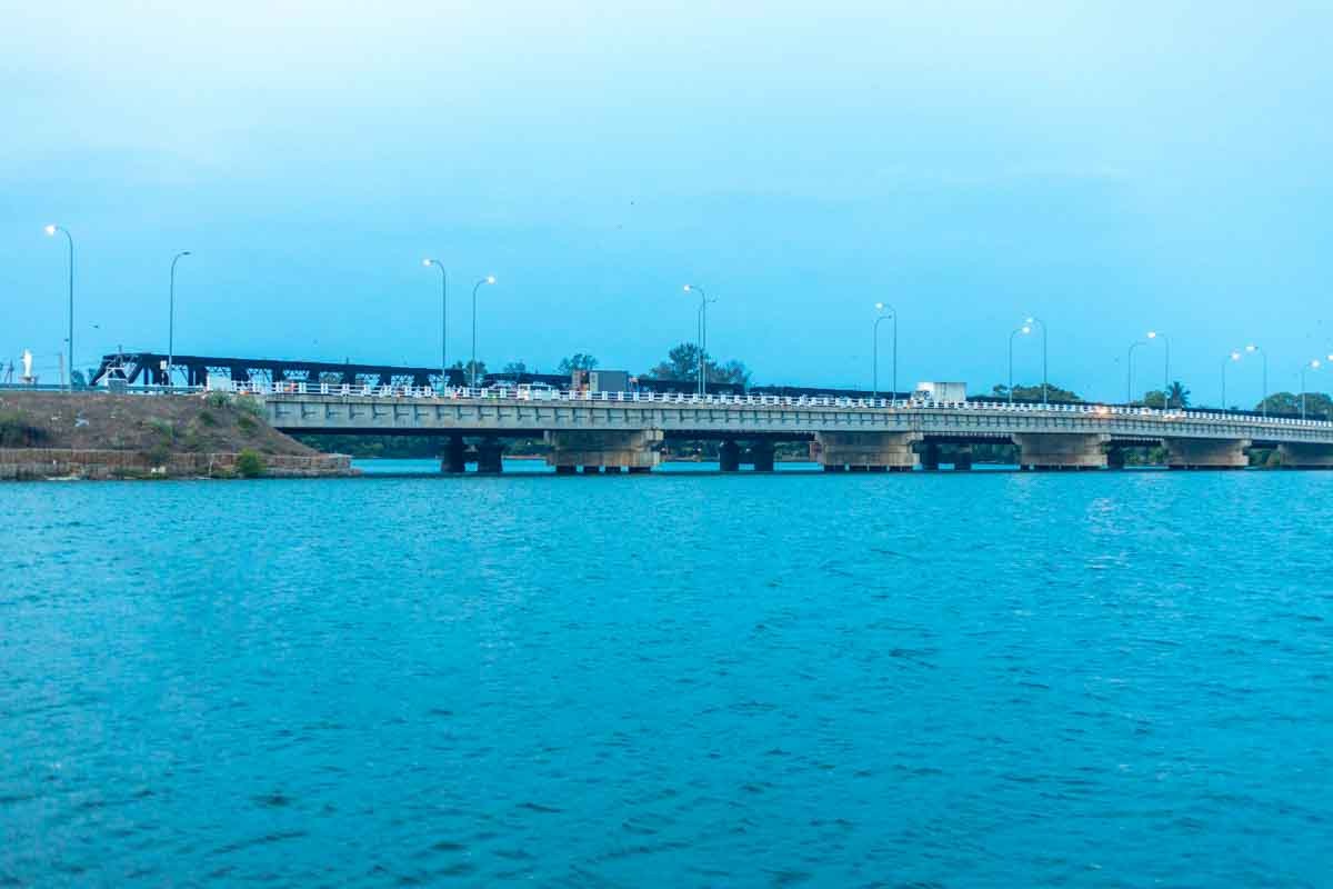
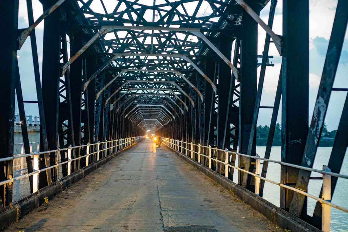
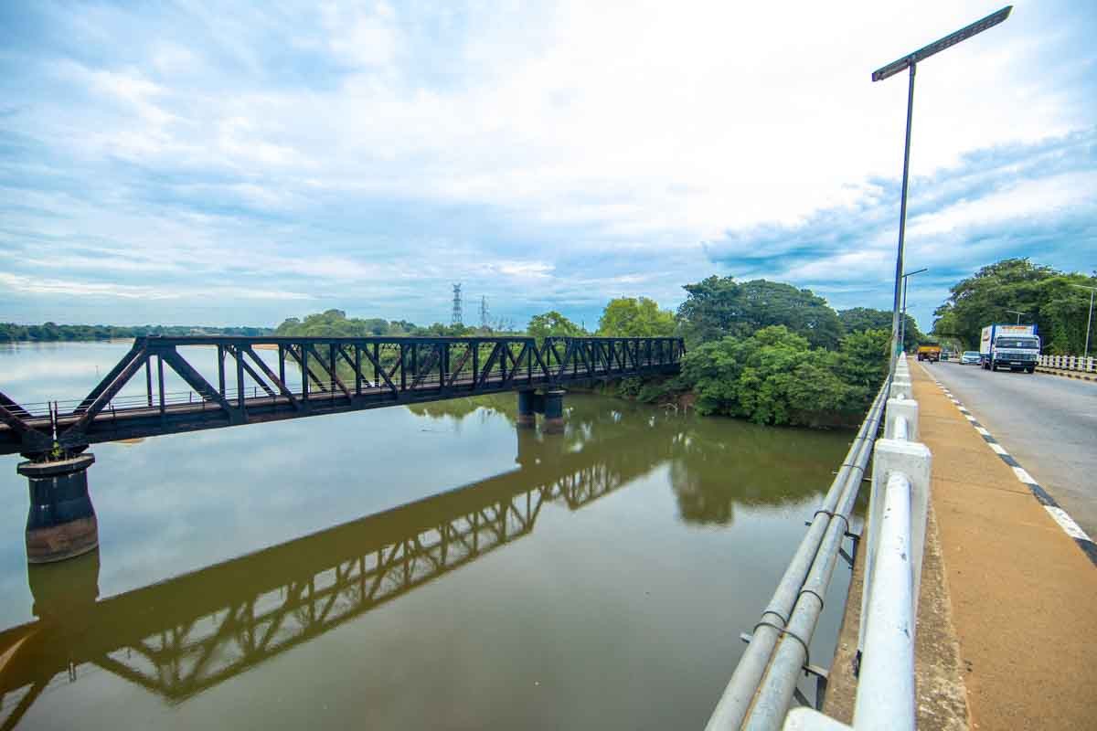
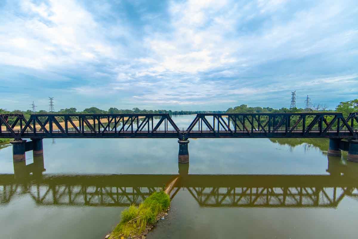
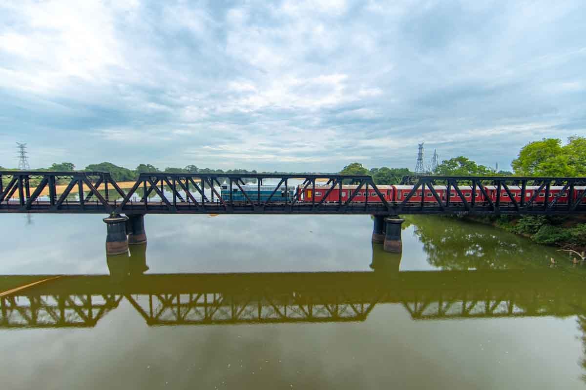
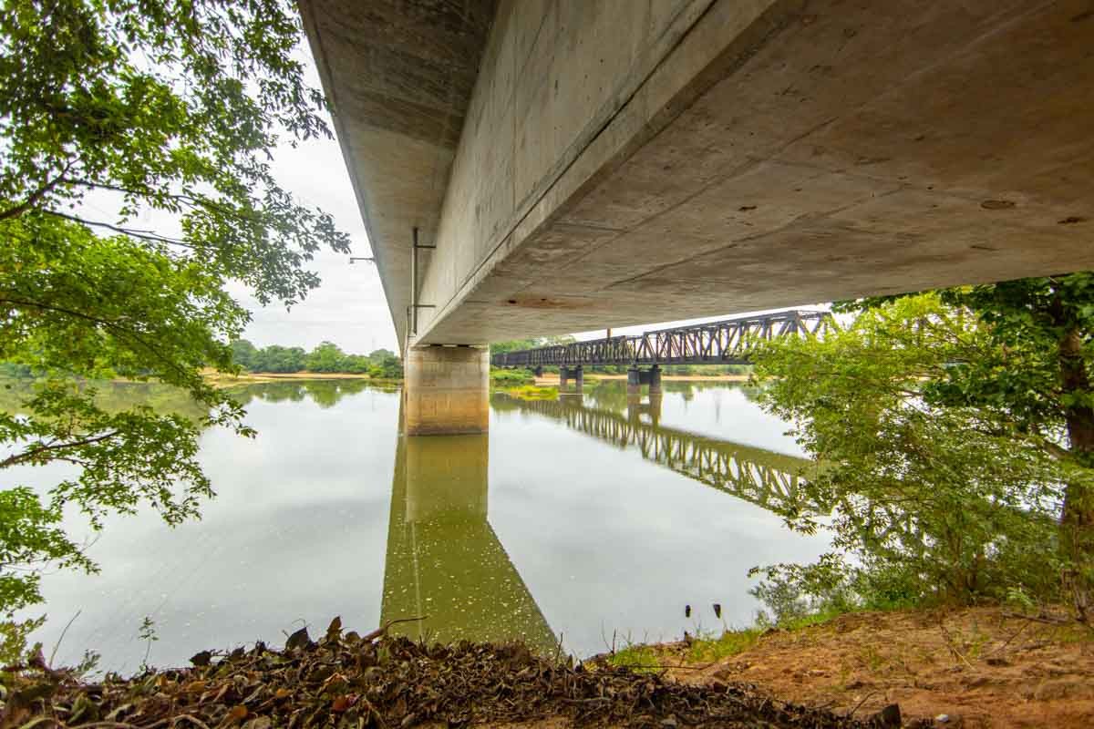
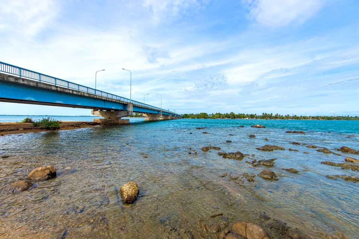
Manampitiya Bridge
Manampitiya Bridge is the second longest bridge as the Kenniya bridge opened in 2009 is the longest bridge in Sri Lanka. It comprises two different bridges, an early 20th century steel bridge and a newly built bridge with two lanes of highway. The new bridge opened in 2007 was built with the financial help from Japan, named as Sri Lanka-Japan Friendship Peace Bridge.
The steel bridge is a railway built in 1922 during British colonial period with a length of 291 metres and approximately 4.5 metres in width. This old steel bridge is an unique road-rail bridge as the most significant feature is that the railway track is running on the centre of the bridge and the two separate roads on either side. The rail and motor traffic is controlled by the checkpoints on the both sides which is operated by the Sri Lankan Army.
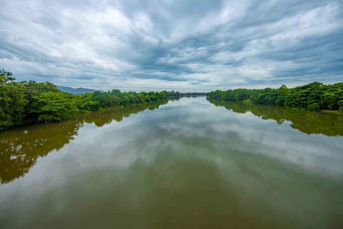
This bridge is acting as the link between North Central Province and the Eastern Province over the river Mahaweli which is the longest river of Sri Lanka.
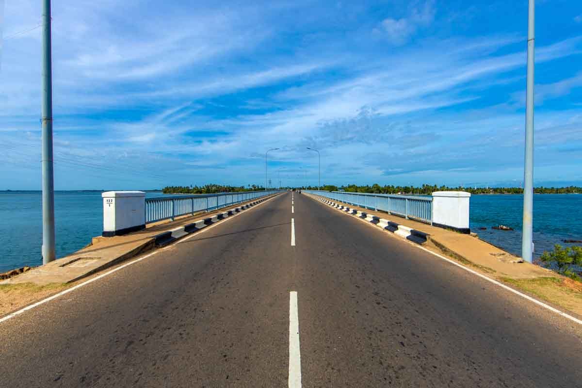
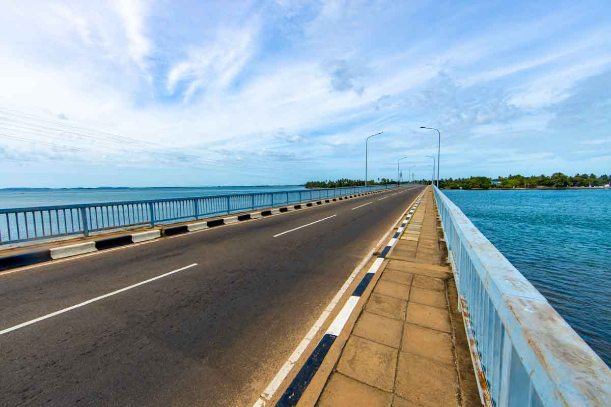
Kinniya Bridge
Kinniya Bridge is the longest bridge in Sri Lanka with a length of 396 metres (1,299 ft).[1] It crosses the lagoon area surrounded by Koddiyar Bay and Tambalagam Bay. It links Trincomalee with Kinniya, enabling civilians to cross the Kinniya lagoon to reach Kinniya and Muttur areas by the A15 highway. The bridge was completed and declared open on 20 October 2009 by President Mahinda Rajapaksa.[2] Prior to that, the Manampitiya Bridge was Sri Lanka's longest bridge. The bridge was built with the financial assistance of the Saudi Arabian government.
Kinniya is a town located east coast in Trincomalee District of the Eastern Province of Sri Lanka. . Kinniya Bridge is the Sri Lanka's longest bridge situated in kinniya, which attracts many tourists in the town. Its name "Kinniya" defines the kinni tree which was the identity of the people of Kinniya once upon a time. The fisheries sector plays a key role in social and economic life of Kinniya. It is region often experiences hot and dry weather with very little precipitation. Many government and private schools and colleges have been established in this place. Kinniya has over 500 years of history.
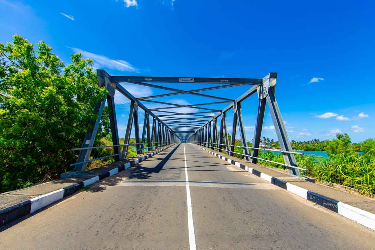
Irakkakandy Bridge
Irakkandi Bridge is the third longest bridge in Sri Lanka with a length of 300m metres. It spans the Irrakkandi Lagoon linking Trincomalee with Pulmoddai. The bridge was completed and declared open on 20 October 2009 by President Mahinda Rajapaksa, along with the Kinniya Bridge.It was built with the financial assistance of Saudi Arabian government.